ფაილი:Zimbabwe adm location map.svg

თავდაპირველი ფაილი (ფაილი SVG, ნომინალურად 832 × 754 პიქსელი, ფაილის ზომა: 184 კბ)
| ეს ფაილი მდებარეობს Wikimedia Commons სერვერზე. იხილეთ მისი აღწერის გვერდი სრული ინფორმაციისთვის. |
 |
გადასვლა ფაილის გვერდზე |
რეზიუმე
| აღწერა |
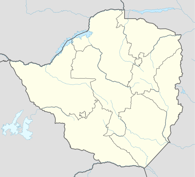
Deutsch: Positionskarte von Simbabwe
English: Location map of Zimbabwe
|
||||||||||||
| თარიღი | |||||||||||||
| წყარო |
Own work using:
|
||||||||||||
| ავტორი | NordNordWest | ||||||||||||

|
ეს რუკა შეიქმნა ან გაუმჯობესდა გერმანულ „რუკების ლაბორატორიაში“. თქვენ ასევე შეგიძლიათ სთხოვოთ სხვა რუკების გაუმჯობესება.
|
ლიცენზია
Usage of this file with:

explanatory notes: Legally binding is only the full legalcode. For a free usage I recommend to respect the following licence conditions:
1. Provide my name as given above: NordNordWest,
2. a copy of, or the URI for, the applicable license: https://creativecommons.org/licenses/by-sa/3.0/de/legalcode,
3. the title of the work,
4. in the case of an adaptation, a credit identifying the use of the work in the adaptation.
This license and the rights granted hereunder will terminate automatically upon any breach by you of the terms of this license. Any of the above conditions can be waived if you get permission from the copyright holder. If you have questions or wish differing conditions, please contact me through nnwest or my discussion page ![]() t-online.de
t-online.de
- თქვენ თავისუფლად შეგიძლიათ:
- ნამუშევრის გაზიარება – ნამუშევრის კოპირება, გავრცელება და გადაცემა.
- შექმნათ დაფუძნებულები – ნამუშევრის შესწორება
- შემდეგი პირობებით:
- მოხსენიება – თქვენ უნდა მიუთითოთ წყაროს შემქმნელი იმ გზით, რომელიც დანიშნა ავტორმა ან საავტორო უფლებების მფლობელმა. მაგრამ არა ისე, თითქოს წყაროს ავტორი მხარს გიჭერთ თქვენ ან დაუჭირა თქვენს მიერ შექმნილ ნაწარმოებს.
- გავრცელება იგივე პირობებეით – თუ თქვენ ცვლით, ან ქმნით ახალ ნაშრომს ამ ნამუშევრის გამოყენებთ, თქვენ გაქვთ უფლება გაავრცელოთ იგი იგივე ან შესაბამისი ლიცენზიით, რომლითაც ვრცელდება წყარო.

ფაილის ისტორია
დააწკაპუნეთ თარიღზე/დროზე ფაილის დასათვალიერებლად, როგორც ის მაშინ გამოიყურებოდა.
| თარიღი/დრო | მინიატიურა | ზომები | მომხმარებელი | შენიშვნა | |
|---|---|---|---|---|---|
| მიმდინარე | 15:53, 17 აპრილი 2017 | | 832×754 (184 კბ) | NordNordWest | corr |
| 19:56, 30 ივნისი 2015 |  | 832×754 (186 კბ) | NordNordWest | c | |
| 19:29, 29 ივნისი 2015 |  | 832×754 (186 კბ) | NordNordWest | == {{int:filedesc}} == {{Information |Description= {{de|1=Positionskarte von Simbabwe}} {{en|1=Location map of Zimbabwe}} {{Location map series N |stretching=105 |top=-15.2 |bottom=-22.8 |left=24.8 |right=33.6 }} |Source={{Own using}} * United States N... |
ბმულები
ამ ფაილზე ბმული მოცემულია შემდეგ გვერდებზე:
ფაილის გლობალური გამოყენება
ეს ფაილი გამოიყენება შემდეგ ვიკებში:
- გამოყენება af.wikipedia.org-ში
- Barberton (dubbelsinnig)
- Gonarezhou Nasionale Park
- Marondera
- Mutare
- Chivhu
- Beatrice, Zimbabwe
- Banket
- Bindura
- Gweru
- Aberdeen (dubbelsinnig)
- Masvingo
- Kwekwe
- Victoria-waterval
- Redcliff
- Karoi
- Chinhoyi
- Kadoma
- Hwange
- West Nicholson
- Chegutu
- Sjabloon:Liggingkaart Zimbabwe
- Zvishavane
- Esigodini
- Mbalabala
- Gwanda
- Shurugwi
- Mvuma
- Willowvale, Zimbabwe
- Zimbabwiese nasionale krieketspan
- Chitungwiza
- Groot-Zimbabwe
- Khami
- Mana Pools
- Barbertonmyn, Zimbabwe
- Krieketwêreldbeker 2003
- Victoria Falls
- Matopos
- Bubirivier
- Martins-waterval
- Mazowedam
- Shanganirivier
- გამოყენება am.wikipedia.org-ში
- გამოყენება an.wikipedia.org-ში
- გამოყენება ar.wikipedia.org-ში
- გამოყენება ast.wikipedia.org-ში
იხილეთ, ამ ფაილის გლობალური გამოყენება.