ფაილი:Seoul satellite map.jpg
ზომა წინასწარი გადახედვისას: 422 × 599 პიქსელი. სხვა გაფართოება: 169 × 240 პიქსელი | 611 × 867 პიქსელი.
თავდაპირველი ფაილი ((611 × 867 პიქსელი, ფაილის ზომა: 98 კბ, MIME ტიპი: image/jpeg))
| ეს ფაილი მდებარეობს Wikimedia Commons სერვერზე. იხილეთ მისი აღწერის გვერდი სრული ინფორმაციისთვის. |
 |
გადასვლა ფაილის გვერდზე |
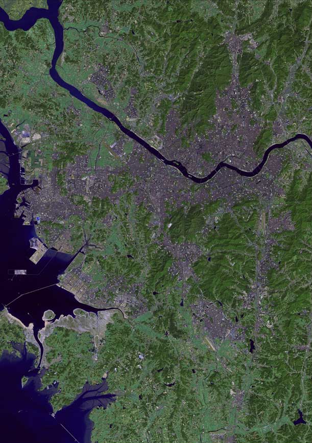
| აღწერა | The raw satellite imagery shown in these images was obtain from NASA and/or the US Geological Survey. Post-processing and production by http://www.terraprints.com |
| თარიღი | |
| წყარო | http://www.terraprints.com |
| ავტორი | http://www.terraprints.com |
ეს ნამუშევარი ვრცელდება Creative Commons Attribution 2.5 Generic ლიცენზიით.
- თქვენ თავისუფლად შეგიძლიათ:
- ნამუშევრის გაზიარება – ნამუშევრის კოპირება, გავრცელება და გადაცემა.
- შექმნათ დაფუძნებულები – ნამუშევრის შესწორება
- შემდეგი პირობებით:
- მოხსენიება – თქვენ უნდა მიუთითოთ წყაროს შემქმნელი იმ გზით, რომელიც დანიშნა ავტორმა ან საავტორო უფლებების მფლობელმა. მაგრამ არა ისე, თითქოს წყაროს ავტორი მხარს გიჭერთ თქვენ ან დაუჭირა თქვენს მიერ შექმნილ ნაწარმოებს.
ფაილის ისტორია
დააწკაპუნეთ თარიღზე/დროზე ფაილის დასათვალიერებლად, როგორც ის მაშინ გამოიყურებოდა.
| თარიღი/დრო | მინიატიურა | ზომები | მომხმარებელი | შენიშვნა | |
|---|---|---|---|---|---|
| მიმდინარე | 22:57, 5 თებერვალი 2011 | | 611×867 (98 კბ) | Ras67 | losslessly cropped with Jpegcrop |
| 18:48, 25 ოქტომბერი 2006 |  | 738×1 100 (114 კბ) | Terraprints | {{Information |Description=The raw satellite imagery shown in these images was obtain from NASA and/or the US Geological Survey. Post-processing and production by http://www.terraprints.com |Source=http://www.terraprints.com |Date=20061025 |Author=http:// |
ბმულები
ამ ფაილზე ბმული მოცემულია შემდეგ გვერდებზე:
ფაილის გლობალური გამოყენება
ეს ფაილი გამოიყენება შემდეგ ვიკებში:
- გამოყენება el.wikipedia.org-ში
- გამოყენება en.wikipedia.org-ში
- გამოყენება hr.wikipedia.org-ში
- გამოყენება hy.wikipedia.org-ში
- გამოყენება my.wikipedia.org-ში
- გამოყენება nl.wikipedia.org-ში
- გამოყენება ps.wikipedia.org-ში
- გამოყენება ru.wikipedia.org-ში
- გამოყენება sk.wikipedia.org-ში
- გამოყენება th.wikipedia.org-ში
- გამოყენება uk.wikipedia.org-ში