ფაილი:Saint-Martin collectivity location map.svg

ამ SVG ფაილის PNG წინასწარი გადახედვის ზომაა: 800 × 578 პიქსელი. სხვა გაფართოება: 320 × 231 პიქსელი | 640 × 462 პიქსელი | 1 024 × 740 პიქსელი | 1 280 × 925 პიქსელი | 2 560 × 1 850 პიქსელი | 1 175 × 849 პიქსელი.
თავდაპირველი ფაილი (ფაილი SVG, ნომინალურად 1 175 × 849 პიქსელი, ფაილის ზომა: 182 კბ)
| ეს ფაილი მდებარეობს Wikimedia Commons სერვერზე. იხილეთ მისი აღწერის გვერდი სრული ინფორმაციისთვის. |
 |
გადასვლა ფაილის გვერდზე |
რეზიუმე
| კამერის მდებარეობა | | იხილეთ ეს და სხვა ახლომდებარე სურათები საიტ(ებ)ზე OpenStreetMap |
|---|
| აღწერა |
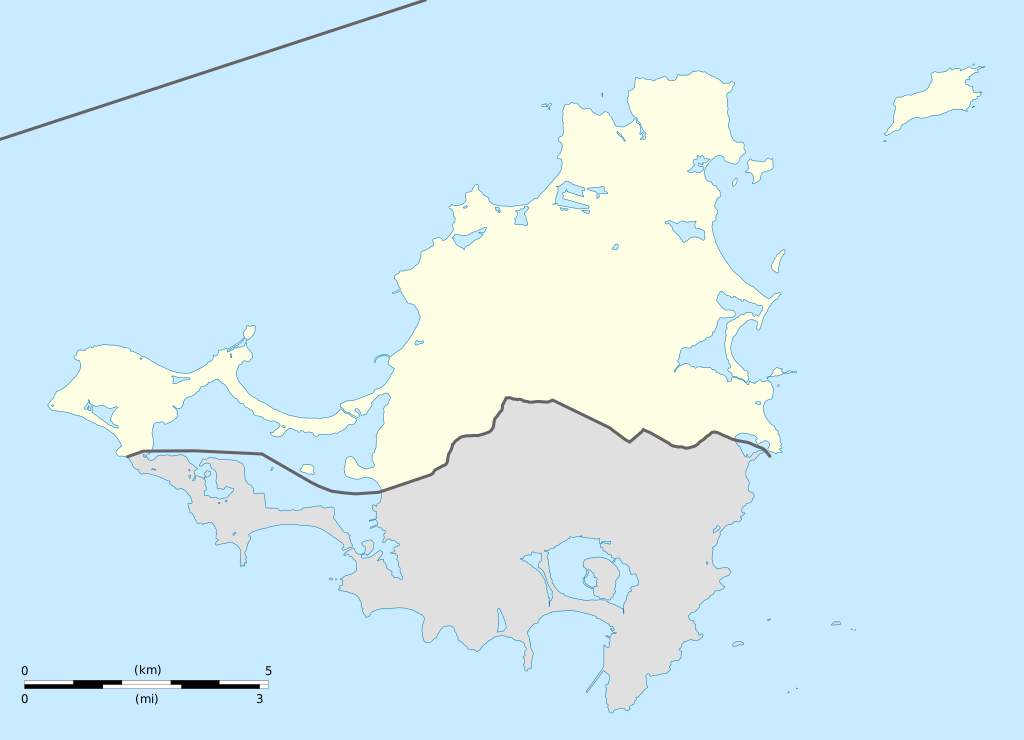
English: Blank administrative map of the overseas collectivity of Saint Martin, France, for geo-location purpose.
Français : Carte administrative vierge de la collectivité d'outre-mer de Saint-Martin, France, destinée à la géolocalisation. Estimated scale: 1:200,000 (precision: 50 m)
Geographic limits of the map:
|
||
| თარიღი | |||
| წყარო |
პირადი ნამუშევარი
|
||
| ავტორი | Eric Gaba (Sting - fr:Sting) | ||
| უფლება (ფაილის მეორეული გამოყენება) |
|
||
| სხვა ვერსიები |
|


ლიცენზია
მე, ამ ნაწარმოებზე საავტორო უფლებების მფლობელი, საკუთარი სურვილით ვაქვეყნებ მას შემდეგი ლიცენზიით:
ეს ნამუშევარი ვრცელდება Creative Commons Attribution-Share Alike 3.0 Unported ლიცენზიით.
- თქვენ თავისუფლად შეგიძლიათ:
- ნამუშევრის გაზიარება – ნამუშევრის კოპირება, გავრცელება და გადაცემა.
- შექმნათ დაფუძნებულები – ნამუშევრის შესწორება
- შემდეგი პირობებით:
- მოხსენიება – თქვენ უნდა მიუთითოთ წყაროს შემქმნელი იმ გზით, რომელიც დანიშნა ავტორმა ან საავტორო უფლებების მფლობელმა. მაგრამ არა ისე, თითქოს წყაროს ავტორი მხარს გიჭერთ თქვენ ან დაუჭირა თქვენს მიერ შექმნილ ნაწარმოებს.
- გავრცელება იგივე პირობებეით – თუ თქვენ ცვლით, ან ქმნით ახალ ნაშრომს ამ ნამუშევრის გამოყენებთ, თქვენ გაქვთ უფლება გაავრცელოთ იგი იგივე ან შესაბამისი ლიცენზიით, რომლითაც ვრცელდება წყარო.

|
თქვენ შეგიძიათ გაავრცელოთ ან შეცვალოთ დოკუმენტი GNU Free Documentation ლიცენზიის 1.2 ან უფრო გვიანდელი ვერსიის პირობების თანახმად, რომელიც გამოქვეყნებულია თავისუფალი პროგრამული უზრუნველყოფის ფონდის მიერ, შეუცვლელი განყოფილებების გარეშე, პირველ და ბოლო გვერდებზე განთავსებულ ტექსტებზე. ლიცენზიის ასლი არის განთავსებული განყოფილებაში სახელად GNU Free Documentation License. |
თქვენ შეგიძლიათ აირჩიოთ ლიცენზია.
ფაილის ისტორია
დააწკაპუნეთ თარიღზე/დროზე ფაილის დასათვალიერებლად, როგორც ის მაშინ გამოიყურებოდა.
| თარიღი/დრო | მინიატიურა | ზომები | მომხმარებელი | შენიშვნა | |
|---|---|---|---|---|---|
| მიმდინარე | 19:42, 17 იანვარი 2009 | | 1 175×849 (182 კბ) | Sting | == Summary == {{Location|18|04|07|N|63|03|45|W|scale:100000}} <br/> {{Information |Description={{en|Blank administrative map of the overseas collectivity of Saint Martin, France, f |
ბმულები
ამ ფაილზე ბმული მოცემულია შემდეგ გვერდებზე:
ფაილის გლობალური გამოყენება
ეს ფაილი გამოიყენება შემდეგ ვიკებში:
- გამოყენება af.wikipedia.org-ში
- გამოყენება als.wikipedia.org-ში
- გამოყენება an.wikipedia.org-ში
- გამოყენება ar.wikipedia.org-ში
- გამოყენება ast.wikipedia.org-ში
- გამოყენება be-tarask.wikipedia.org-ში
- გამოყენება bg.wikipedia.org-ში
- გამოყენება bn.wikipedia.org-ში
- გამოყენება bs.wikipedia.org-ში
- გამოყენება ceb.wikipedia.org-ში
- Plantilya:Location map Saint-Martin
- Green Cay
- Eastern Point
- Red Hill
- Bell Point
- Flagstaff
- Saint-Martin (pagklaro)
- Île Frégate
- Red Rock
- Hope Hill
- Bell Hill
- Pointe Noire
- Marigot
- Le Paradis
- Baie Rouge
- Crocus Hill
- Île Charlotte
- Lac Simpson
- Lac Simson
- Montagne Ronde
- Pointe Bluff
- Pointe Nord
- Saint Martin (pagklaro)
- La Selle
- Mont Fortune
- Baie du Marigot
- Grand Îlet
- Morne Rond
- Le Selle
- Simson Baai Lagoen
- Sint Maarten (pagklaro)
- Pointe Falaise
- Pointe du Bluff
- Spaniard Rock
- Baie Blanche
- Concordia Hill
- Mont des Accords
იხილეთ, ამ ფაილის გლობალური გამოყენება.