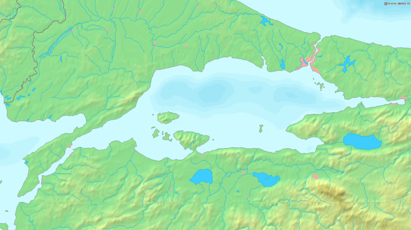
ფაილი:Sea of Marmara map.png

ზომა წინასწარი გადახედვისას: 800 × 448 პიქსელი. სხვა გაფართოება: 320 × 179 პიქსელი | 640 × 358 პიქსელი | 1 336 × 748 პიქსელი.
თავდაპირველი ფაილი ((1 336 × 748 პიქსელი, ფაილის ზომა: 334 კბ, MIME ტიპი: image/png))
ფაილის ისტორია
დააწკაპუნეთ თარიღზე/დროზე ფაილის დასათვალიერებლად, როგორც ის მაშინ გამოიყურებოდა.
| თარიღი/დრო | მინიატიურა | ზომები | მომხმარებელი | შენიშვნა | |
|---|---|---|---|---|---|
| მიმდინარე | 17:37, 6 სექტემბერი 2005 |  | 1 336×748 (334 კბ) | Mats Halldin~commonswiki | Map of the Sea of Marmara Bounding box West 26°, South 39.8°, East 30°, North 41.5°. {{demis-pd}} Category:Maps of Turkey |
ბმულები
ამ ფაილზე ბმული მოცემულია შემდეგ გვერდებზე:
ფაილის გლობალური გამოყენება
ეს ფაილი გამოიყენება შემდეგ ვიკებში:
- გამოყენება af.wikipedia.org-ში
- გამოყენება am.wikipedia.org-ში
- გამოყენება ang.wikipedia.org-ში
- გამოყენება ar.wikipedia.org-ში
- გამოყენება azb.wikipedia.org-ში
- გამოყენება az.wikipedia.org-ში
- გამოყენება ba.wikipedia.org-ში
- გამოყენება br.wikipedia.org-ში
- გამოყენება bs.wikipedia.org-ში
- გამოყენება ca.wikipedia.org-ში
- გამოყენება ce.wikipedia.org-ში
- გამოყენება ckb.wikipedia.org-ში
- გამოყენება cs.wikipedia.org-ში
- გამოყენება cv.wikipedia.org-ში
- გამოყენება cy.wikipedia.org-ში
- გამოყენება da.wikipedia.org-ში
- გამოყენება de.wikipedia.org-ში
- გამოყენება diq.wikipedia.org-ში
- გამოყენება dsb.wikipedia.org-ში
- გამოყენება el.wikipedia.org-ში
- გამოყენება el.wiktionary.org-ში
- გამოყენება en.wikipedia.org-ში
- გამოყენება en.wiktionary.org-ში
- გამოყენება eo.wikipedia.org-ში
- გამოყენება es.wikipedia.org-ში
- გამოყენება et.wikipedia.org-ში
- გამოყენება fa.wikipedia.org-ში
- გამოყენება fi.wikipedia.org-ში
- გამოყენება fr.wikipedia.org-ში
იხილეთ, ამ ფაილის გლობალური გამოყენება.
